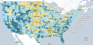
Interactive Census Map Includes County Data
 The New York Times created an interactive map that allows users to see county-by-county Census data for the entire country. Click on a county and demographic information for that county appears, you can also look at states up close and compare different counties simply by moving your cursor over them. It’s a quick and easy way to check out Census data.

